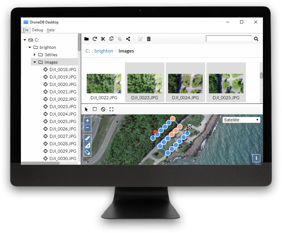
Cloud Platform
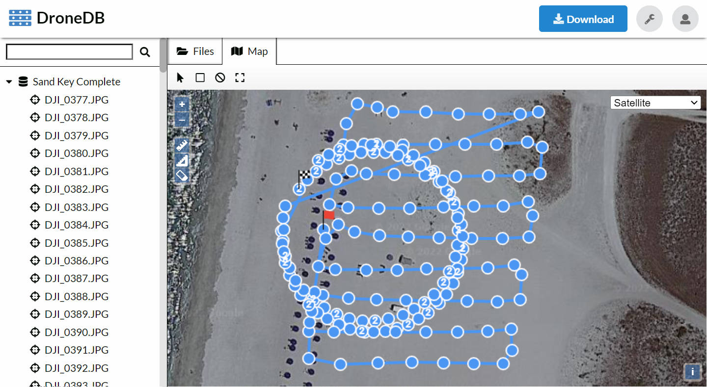
Flight Paths and Partitioning
View images locations. Inspect flight paths. Easily partition your data.
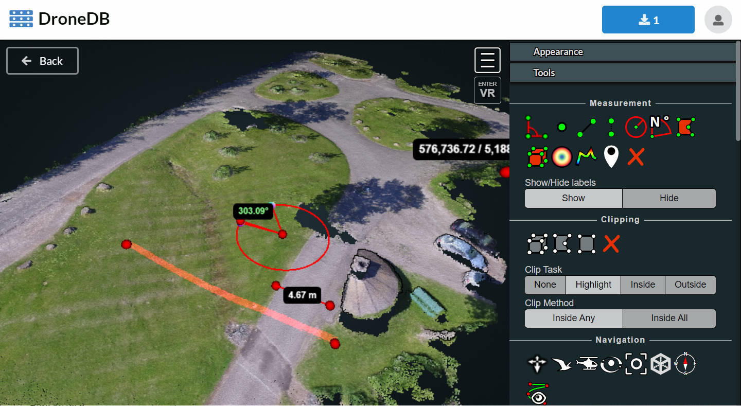
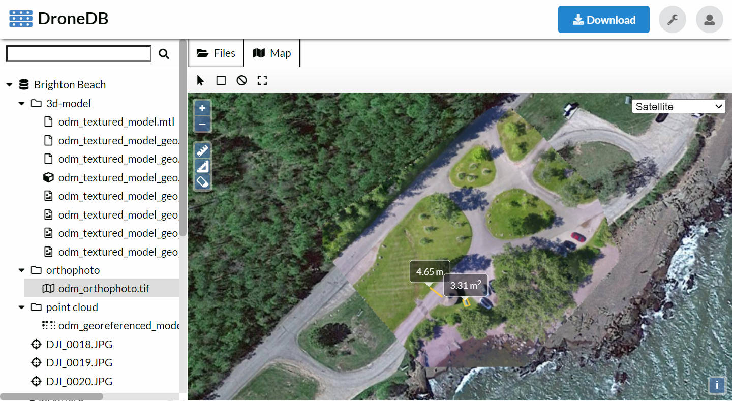
Interactive
Explore and measure orthophotos, point clouds, 3D models.
Power users love us
Scripting & Sharing
Command line friendly, excellent for automations and scripts.
Download CLI
Run On Your Infrastructure